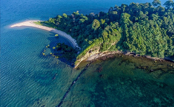
North Reef lightstation: North Reef is located about 77 kilometres north-east of Curtis Island off Gladstone. This lightstation is managed and maintained by the Australian Maritime Safety Authority (AMSA) as an operational aid for navigation. In 2022, the ground floor of the North Reef tower was refurbished and the structure was repainted.1142 The AMSA North Reef Lightstation Heritage Management Plan, as required under the EPBC Act, is currently under review with publication anticipated in late 2024. As management plans do not report on condition, published long-term condition data remains a data gap.
Shoalwater Bay Military Training Area: This Commonwealth heritage place reflects the boundaries and values of the Shoalwater and Corio Bays Area Ramsar wetland and the military training area owned by the Australian Department of Defence. The place spans marine and terrestrial ecosystems and is partly within the Region. While condition data for the heritage place is not published, the Department of Defence maintains a presence in the Region throughout the year, conducting ongoing environmental management and monitoring activities. The biennial Talisman Sabre military exercises (Section 5.3) also generate unpublished condition data. The assessment of the value relies on the assessment of the Region’s biodiversity in Chapter 2.
Shoalwater Bay is an important habitat for several iconic marine species of conservation interest, including humpback whales, dugongs, and green, hawksbill and loggerhead marine turtles. The condition (and trends in condition) of these species vary. For instance, the east coast humpback whale subpopulation continues to increase (Sections 2.4.14 and 8.3.7), whereas southern dugong populations are experiencing long-term decline (Sections 2.4.16 and 8.3.6).
Seagrass meadows and seagrass are associated habitat of these marine species. In 2022–23, seagrass abundance in Shoalwater Bay declined to its lowest levels in 8 years.149 This decline is linked to regional water quality conditions (Sections 2.3.4 and 2.4.2).149 The seagrass abundance score decreased in 2021–22 to the lowest level on record, reaching very poor for the first time in the Fitzroy region, then recovering slightly to poor in 2022–23.149


